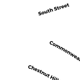
209 CHESTNUT HILL AV
Owner Information
TRIMMIS PETER
22 HIBBARD RD
NEWTON, MA 02458


Property Details
209 CHESTNUT HILL AV is classified as a Three-Family Residential (Row end).
The primary structure on this property was built in 1910. There is 5,700ft2 of residential/living space within this property. This property is listed as having 18 rooms.
209 CHESTNUT HILL AV is valued at $1,560,000. The land is valued at $416,200 and the structures are valued at $1,143,800.
The most recent deed for 209 CHESTNUT HILL AV is recorded at the local registrar in Book 19078, Page 192. 209 CHESTNUT HILL AV was last sold on Thursday, May 19, 1994 for $261,000.
Assessment data from fiscal year 2020.
Flood Data
According to the FEMA National Flood Hazard Layer, this property does not appear to be in a flood zone. It may also be in an area not yet reviewed. Nonetheless, confirm this information prior to taking any action.
To view the flood hazards around this property, create a FEMA "Firmette" Map of the area around 209 CHESTNUT HILL AV.
Broadband Internet Providers
| Provider | Type | Bandwidth (mbps) | |
|---|---|---|---|
| GCI Communication Corp. | Satellite | 0 | 0 |
| VSAT Systems, LLC. | Satellite | 2 | 1 |
| HughesNet | Satellite | 25 | 3 |
| Starry, Inc. | Fixed Wireless | 200 | 200 |
| RCN | Cable | 1000 | 20 |
| RCN | Cable | 500 | 20 |
| Comcast | Cable | 1000 | 35 |
| Verizon New England Inc. | Fiber | 940 | 880 |
| Verizon New England Inc. | DSL | 15 | 1 |
| Viasat Inc | Satellite | 100 | 3 |
Broadband service provider data from December 2020.
Adjacent Properties
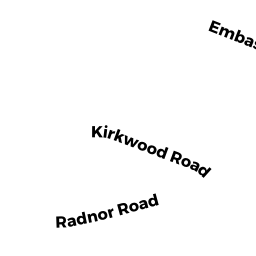
- 70 Kirkwood RD
Single Family Residential owned by SANIEOFF SIEON - 213 CHESTNUT HILL AV
Apartments with Four to Eight Units owned by TWO-13 CHESTNUT HILL AV LLC - 199 CHESTNUT HILL AV
Improved Municipal or Public Safety, Other City or Town owned by AMERICAN BUDDHIST SHIM - 66 Kirkwood RD
Single Family Residential owned by NEJAD MOHAMMAD IMANI